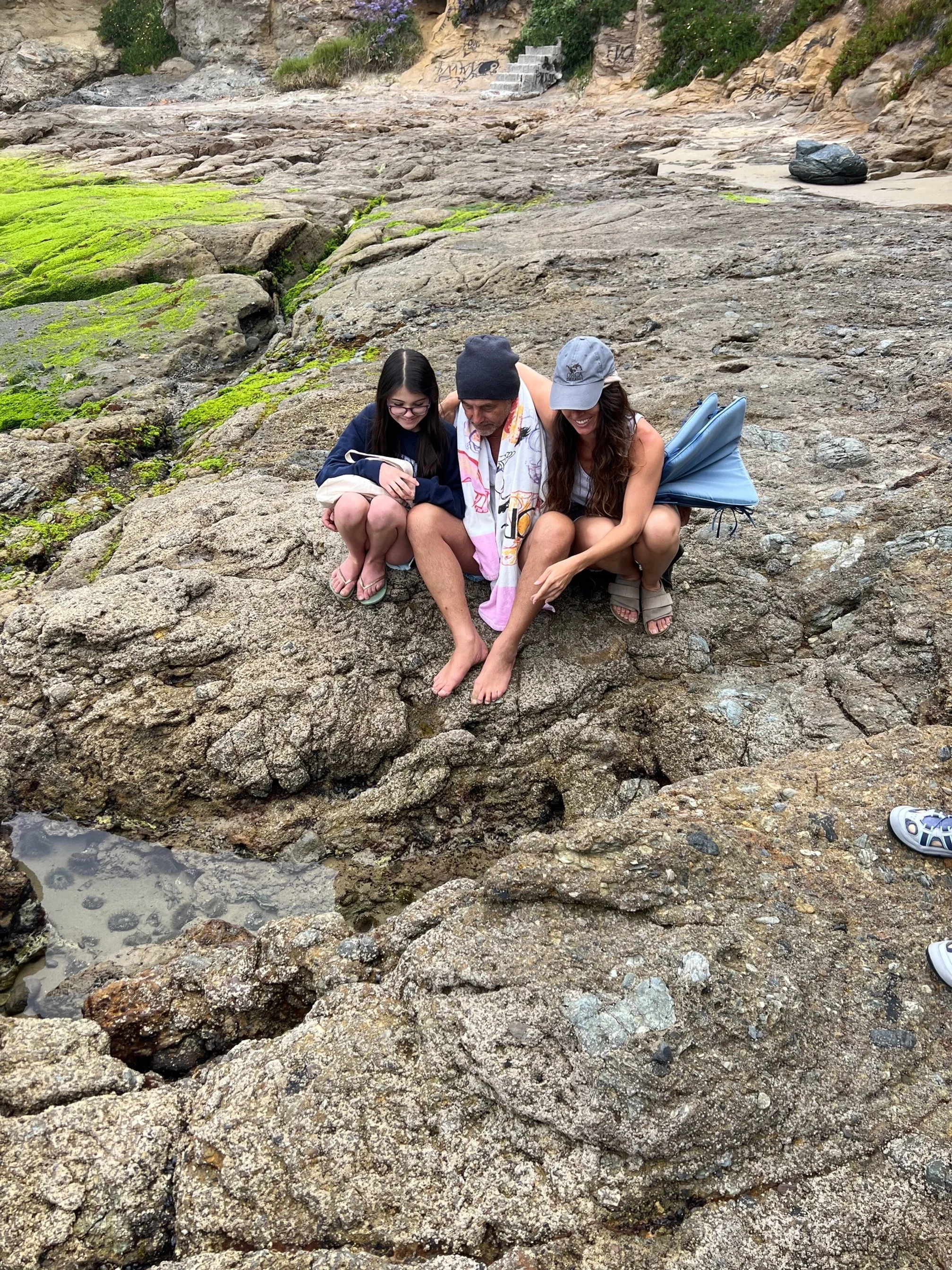
Marine Protected Areas
Marine protected areas (MPAs) are areas seaward of the high tide line that have been designated by law, administrative action, or voter initiative to protect or conserve marine life and habitat (CA Department of Fish and Game, 2012).
Locations throughout Orange County began protecting their local seashores through city regulations in the 1990’s, but in 1999 the Marine Life Protection Act (MLPA) began the process of designing and establishing the Marine Protected Areas (MPAs) of California. After the initial implementation, a reassessment occurred within the California Department of Fish and Wildlife that created specific latitude and longitudinal boundaries, combined smaller MPAs into larger or different locations, and as of January 1, 2012, established our current network of MPAs.
Since 2012, there have been 124 Marine Protected Areas with differing regulations throughout the California coastline and islands, and these equate to 16% of California’s waters being protected at some level.
What’s the importance of MPAs?
MPAs protect the diversity and abundance of marine life, the habitats they depend on, and the integrity of marine ecosystems. The Marine Life Protection Act recognizes that a combination of MPAs with varied amounts of allowed activities and protections (marine reserves, marine conservation areas, and marine parks) can help conserve biological diversity, provide a sanctuary for marine life, and enhance recreational and educational opportunities. MPAs can also provide scientific reference points to assist with resource management decisions, and protect a variety of marine habitats, communities, and ecosystems for their economic and intrinsic value, for generations to come.
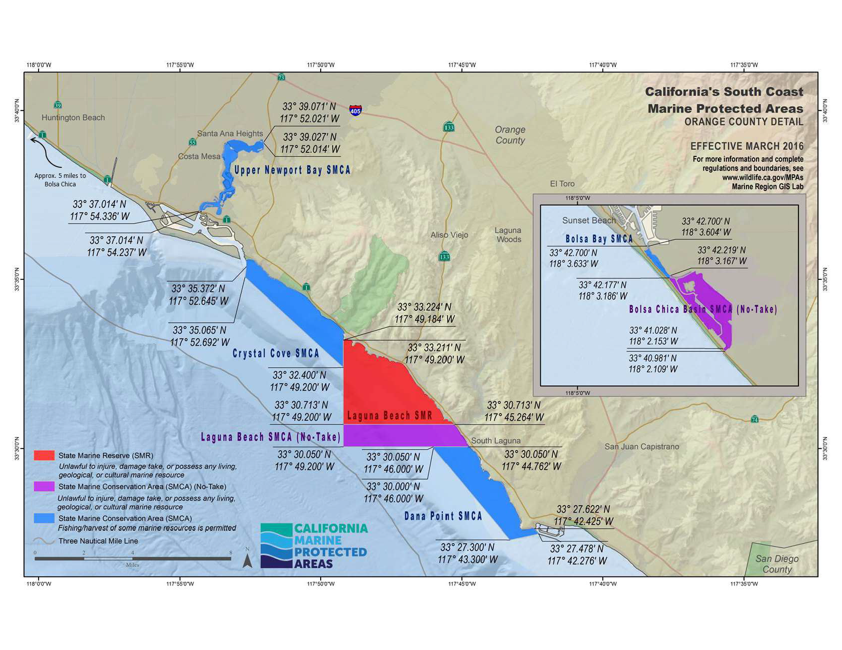
All sites covered by the Laguna Ocean Foundation are located within the State Marine Reserve which means it is unlawful to injure, damage, take, or possess any living, geological, or cultural marine resource. The only exception is if the individual(s) possess a special permit.
Take is defined as removal or attempted removal, event temporarily, of all resources.
Why was Laguna Beach chosen for a state marine reserve?
According to California Dept. of Fish & Wildlife, one of the goals for Laguna Beach State Marine Reserve is to protect the tidepool, surfgrass, sandy seafloor, kelp forest, and rocky reef habitat found there. A wide variety of marine species use these habitats. Leopard sharks, California spiny lobster, and kelp bass are among the many fish and invertebrates that live and hunt in the kelp forests close to shore. Wrasses, nudibranchs (colorful sea slugs), and a variety of crabs and shrimp shelter in more than two square miles of surfgrass meadows, while flatfish such as California halibut and C-O sole blend in with the sandy seafloor and wait for their prey to swim by.
Laguna Beach State Marine Reserve shares a southern border with Laguna Beach State Marine Conservation Area, and a northern border with Crystal Cove State Marine Conservation Area. It is one of four consecutive MPAs that together cover approximately 14 square miles of coastal habitat from Corona del Mar State Beach to Dana Point. Placing a state marine reserve here provides very high levels of protection for local marine species and the habitats they use.
Types of Marine Protected Areas
-
In a state marine recreational management area, it is unlawful to perform any activity that would compromise the recreational values for which the area may be designated. Recreational opportunities may be protected, enhanced, or restricted, while preserving basic resource values of the area. No other use is restricted unless specified in subsection 632(b), areas and special regulations for use. (CCR T14, Section 632 (a)(1)(D))
-
In a state marine park, it is unlawful to injure, damage, take, or possess any living or nonliving marine resource for commercial purposes. Any human use that would compromise protection of the species of interest, natural community or habitat, or geological, cultural, or recreational features, may be restricted by the commission as specified in subsection 632(b), areas and special regulations for use. The department may issue scientific collecting permits pursuant to Section 650. The commission may authorize research, monitoring, and educational activities and certain recreational harvest in a manner consistent with protecting resource values. (CCR T14, Section 632 (a)(1)(B))
-
In a state marine conservation area, it is unlawful to injure, damage, take, or possess any living, geological, or cultural marine resource for commercial or recreational purposes, or a combination of commercial and recreational purposes except as specified in subsection 632(b), areas and special regulations for use. The department may issue scientific collecting permits pursuant to Section 650. The commission may authorize research, education, and recreational activities, and certain commercial and recreational harvest of marine resources, provided that these uses do not compromise protection of the species of interest, natural community, habitat, or geological features. (CCR T14, Section 632 (a)(1)(C))
-
In a state marine reserve, it is unlawful to injure, damage, take, or possess any living, geological, or cultural marine resource, except under a scientific collecting permit issued by the department pursuant to Section 650 or specific authorization from the commission for research, restoration, or monitoring purposes. (CCR T14, Section 632 (a)(1)(A))
-
A special closure is an area designated by the Fish and Game Commission that prohibits access or restricts boating activities in waters adjacent to sea bird rookeries or marine mammal haul-out sites.
About the Orange County Marine Protected Area Council
The Orange County Marine Protected Area Council (OCMPAC) is the state’s oldest MPA Collaborative, started in 1999.
OCMPAC is a collaboration of city and county officials, institutional representatives, environmental advocates, academic faculty, and nonprofit organization members. OCMPAC seeks to provide beach visitors with consistent marine protected area related information throughout the county. For nearly two decades, the organization has accomplished this by developing regional interpretive signage, regional brochures, and holding annual docents trainings. OCMPAC’s accomplishments also include county-wide signage, enforcement trainings, education programs, research & monitoring, and teacher workshops.
Based on their success, OCMPAC was used as a model for the development of the statewide network of collaboratives. In addition to establishing programs for docent education, public outreach, and consistent enforcement, OCMPAC is actively engaged in a range of citizen science projects that monitor the health of Orange County’s MPAs. Since its inception, OCMPAC has served a key role in coordinating organizations to support MPA management in Orange County.
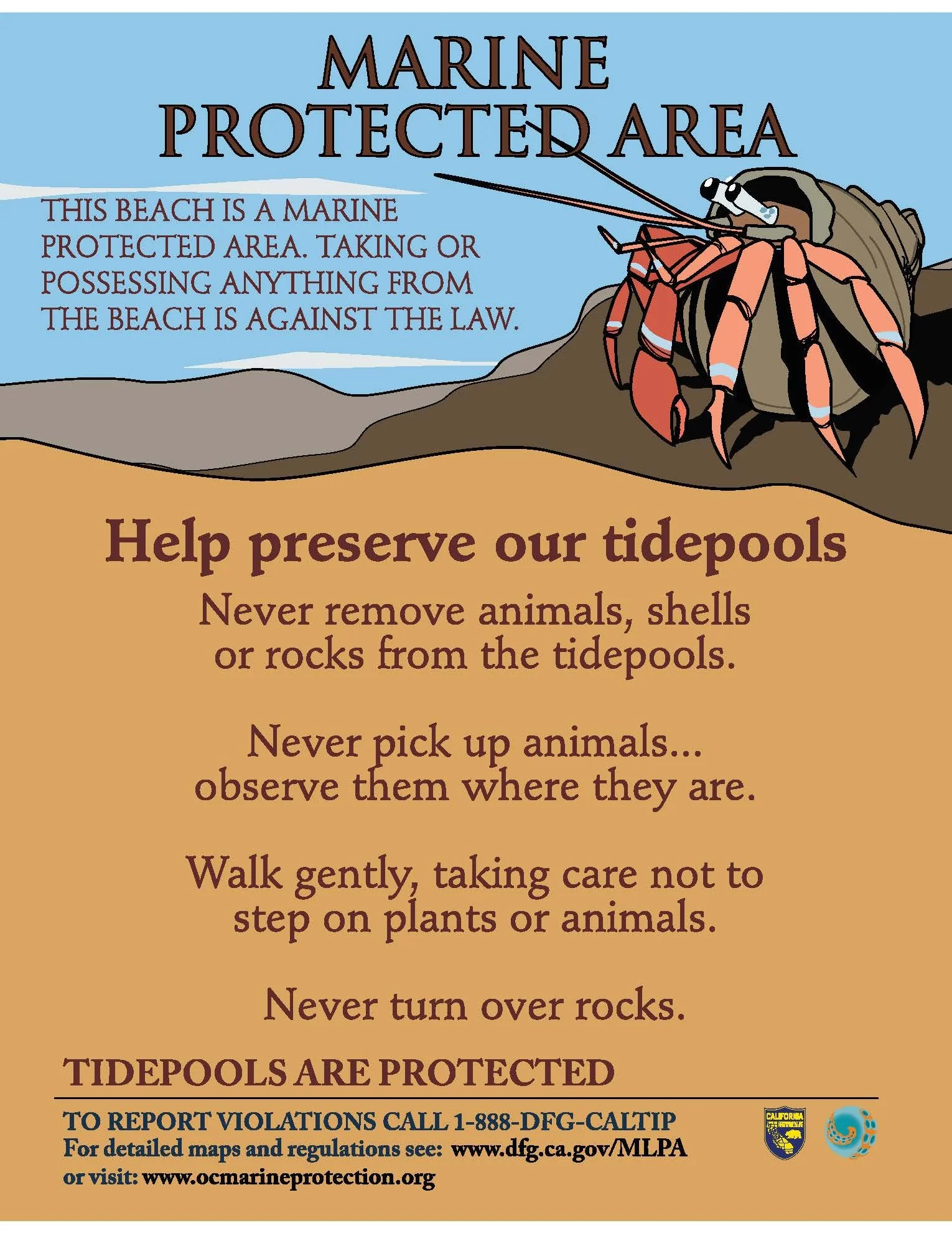
The Orange County Marine Protected Area Council (OCMPAC) seeks to provide beach visitors with consistent marine protected area related information throughout the county. For nearly two decades, the organization has accomplished this by developing regional interpretive signage, regional brochures and holding annual docents trainings. OCMPAC’s Harry the Crab Sign can be found at every marine protected area beach entrance in Orange County. The branded sign provides tide pool patrons with low-impact viewing methods and information regarding how to report fishing violations.


